Matatu routes / Route 56
The route at a glance
12 km through 7 sections, drawn to scale. Select a section to jump to its stops.
Route 56 at a glance Overview of route 56 from Kanungaga to Railways: 12 km through 7 sections, with 32 stages, 3 change points and Moveka Stations beside 2 stages. The ordered list below gives the same information in text. Gatina, 0.0 to 1.0 km, 5 stages Gatina Kabiro, 1.2 to 1.2 km, 1 stage Kabiro Kilimani, 1.4 to 3.2 km, 6 stages Kilimani Kileleshwa, 3.5 to 4.0 km, 3 stages Kileleshwa Kilimani, 4.4 to 9.0 km, 14 stages Kilimani Woodley/Kenyatta/Golf Course, 9.5 to 9.5 km, 1 stage Woodley/Kenyatta/G… Starehe, 10.6 to 11.5 km, 2 stages Starehe Kanungaga · 0 kmRailways · 12 kmRoute 56 at a glance Overview of route 56 from Kanungaga to Railways: 12 km through 7 sections, with 32 stages, 3 change points and Moveka Stations beside 2 stages. The ordered list below gives the same information in text. Gatina, 0.0 to 1.0 km, 5 stages Gatina Kabiro, 1.2 to 1.2 km, 1 stage Kilimani, 1.4 to 3.2 km, 6 stages Kilimani Kileleshwa, 3.5 to 4.0 km, 3 stages Kileleshwa Kilimani, 4.4 to 9.0 km, 14 stages Kilimani Woodley/Kenyatta/Golf Course, 9.5 to 9.5 km, 1 stage Woodley/Keny… Starehe, 10.6 to 11.5 km, 2 stages Starehe Kanungaga · 0 kmRailways · 12 km
Start Kanungaga 0.0 km
Mkombozi/Fraemy Supermarket
0.3 km
Kismart Supermarket
0.9 km
St.Francis/Kanisani
1.0 km
Congo
1.2 km
Change here for
46K 48K
Rusinga School
1.4 km
Change here for
46K 48K
Braeburn School
1.5 km
Change here for
46K 48K
Sohail City
1.7 km
Change here for
46K 046P
Amboseli Road
2.0 km
Change here for
46K 046P 48K
Vanga Road
2.5 km
Change here for
46K 046P
Valley Arcade
3.2 km
Change here for
46K
Nearest served area: Lavington
Othaya Road
3.5 km
Change here for
46K 046P
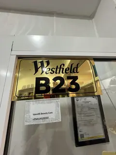
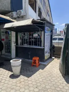
Moveka Station
Vannili Closet
72 m from the route · send or collect parcels here
3.5 km
Methodist
3.7 km
Change here for
46K 046P
Montessouri
4.0 km
Change here for
46K 046P
4.4 km–9.0 km · 14 stages
Nearest served area: Kilimani
Show the 14 stagesEgeyo, Kirichwa Road, Kilimani Primary School and 11 more Egeyo 4.4 km Kirichwa Road 4.7 km Kilimani Primary School 5.0 km Wood Avenue 5.2 km Yaya 5.5 km Chaka Place 5.9 km Remax Shopping Village 6.0 km Quality 6.2 km Four Points/Nairobi Women's Hospital 6.3 km Hurlingham 6.6 km DoD 7.2 km Valley Road Pentecostal 7.6 km Integrity Centre/Panafric 8.3 km Community 9.0 km
Nearest served area: Kamakis
NHIF
9.5 km
Change here for
2 3 4 16 and 4 more 24 33NG 102 111
10.6 km–11.5 km · 2 stages
Nearest served area: Kamakis
Agip
10.6 km
Change here for
2 3 4 8 and 8 more 12D 14A 14B 15 16 24 33B 33C
Railways
11.5 km
Change here for
2 3 4 8 and 4 more 102 111 125 126
End Railways 11.5 km
Moveka Stations on this route
Drop off or collect a parcel at a shop on the line.
Ready to send? Parcels travel route 56 too. Send from a Station on the line.
Send a package
Stops from Approved SACCOs - University of Nairobi C4D Lab reporting/sharing, service 2019 to 2020.
Map data © OpenStreetMap contributors .