The route at a glance
22 km through 8 sections, drawn to scale. Select a section to jump to its stops.
- Stage
- Change here (8+ routes)
- Moveka Station (a number where several stand together)
- Area section
Start
Kikuyu Terminus0.0 km
Nearest served area: Kikuyu
Kikuyu Terminus
0.0 km
Change here for
102129
Kikuyu Town Bus Park
0.5 km
Muguku
1.1 km
Change here for
129
Nearest served area: Kikuyu
Gitaru/Vantage School
1.9 km
Change here for
103129
Kampala
2.9 km
Change here for
103114W115135
Rungiri
3.2 km
Change here for
103114W115135
Nearest served area: Kiambu kinoo
Regen
3.9 km
Change here for
103114W115135
Muthiga
4.3 km
Change here for
103114W115135
Muthiga Academy
4.8 km
Change here for
103114W115135
Kinoo
5.6 km
Change here for
3103114W115 and 1 more
135
Mama Ngina
6.2 km
Change here for
3103135
Nearest served area: Kiambu Uthiru
87 Stage
6.5 km
Change here for
3103114W115 and 1 more
135
Wanjimi/87 Junction
6.6 km
Change here for
3103114W115 and 1 more
135
Cooperation
7.5 km
Change here for
3103114W115 and 1 more
135
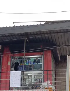
Moveka Station
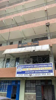
Anna’s Oven
261 m from the route · send or collect parcels here
7.5 km
Kanisa/Kwa Miti
8.2 km
Change here for
3103114W115 and 1 more
135
Uthiru Junction
8.4 km
Change here for
103114W115135
Mariguini
8.6 km
Change here for
135
9.2 km–14.9 km · 12 stages
Nearest served area: Kangemi
Show the 12 stagesKabete Police Post/Nne Market, Posta/Soko nne, Thiong'o and 9 more
- Kabete Police Post/Nne Market9.2 km
- Posta/Soko nne9.8 km
- Thiong'o10.1 km
- Posta10.2 km
- Mountain View10.9 km
- Sugarboard / Shell11.2 km
- Kangemi Soko11.6 km
- Heshima Supermarket/Stagi ya Basi12.1 km
- CCK/Kianda School12.9 km
- Waruku13.6 km
- Nairobi School14.4 km
- Kari/James Gichuru14.9 km
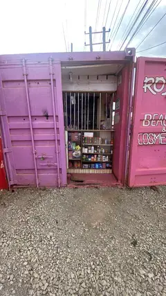
Moveka Station
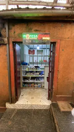
Cookie shop
172 m from the route · send or collect parcels here
12.1 km
15.2 km–18.2 km · 6 stages
Nearest served area: Westlands Area
Kabete Barracks/ABC
15.2 km
Change here for
23KG30046P48K and 3 more
114W115135
Westlands DC/Church Road/Safaricom
16.2 km
Change here for
23KG3048K114W and 2 more
115135
Westlands Primary School
16.6 km
Change here for
23KG3048K114W and 2 more
115135
Lion's Place
17.1 km
Change here for
23KG30114W115 and 1 more
135
Sarit/Pio gama pinto rd
17.6 km
Change here for
23KG114W115135
Westlands Stage
18.2 km
Change here for
23KG30046P48C and 3 more
114W115135
18.8 km–19.6 km · 3 stages
Nearest served area: Westlands Area
Eden Square
18.8 km
Change here for
23KG3048C114W and 2 more
115135
Chiromo/Mirage
18.9 km
Change here for
23KG3048A48B and 5 more
48C48O114W115135
Museum
19.6 km
Change here for
23KG30046P48A and 4 more
48B48C115135
20.6 km–22.4 km · 2 stages
Nearest served area: Nairobi CBD
Main Campus/University Way
20.6 km
Change here for
23KG30046P48A and 5 more
48B48C48O114W115
1.8 km to the next stage
Odeon
22.4 km
Change here for
11A11B11C23KG and 8 more
2525A3044G44Z45K48A48B
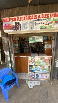
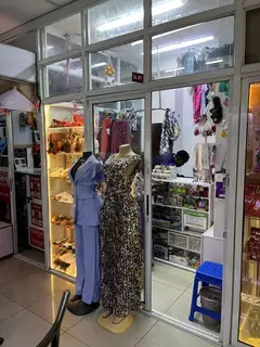
2 Moveka Stations
Together here · send or collect parcels at any of them
22.4 km
End
Odeon22.4 km
Ready to send?
Parcels travel route 105 too. Send from a Station on the line.
Stops from Approved SACCOs - University of Nairobi C4D Lab reporting/sharing, service 2019 to 2020.
Map data © OpenStreetMap contributors.