Explore Moveka

Matatu route

48C

YayaOdeon

About 9 km between Yaya and Odeon, through Kileleshwa, Parklands, Highridge. 5 Moveka Stations are on or beside the line.

YayaOdeon2 km © OpenStreetMap contributors

The route at a glance

9 km through 5 sections, drawn to scale. Select a section to jump to its stops.

Route 48C at a glanceOverview of route 48C from Yaya to Odeon: 9 km through 5 sections, with 19 stages, 4 change points and Moveka Stations beside 4 stages. The ordered list below gives the same information in text.Kilimani, 0.0 to 0.8 km, 4 stagesKilimaniKileleshwa, 1.0 to 4.2 km, 9 stagesKileleshwaParklands, 4.5 to 4.5 km, 1 stageParklandsHighridge, 5.0 to 5.9 km, 3 stagesHighridgeStarehe, 7.0 to 8.8 km, 2 stagesStarehe2Yaya · 0 kmOdeon · 9 km

Stops from Yaya to Odeon

Show Odeon to Yaya
  1. Start
    Yaya
    0.0 km
  2. Kilimani

    0.0 km–0.8 km · 4 stages

    Nearest served area: Kilimani

  3. Yaya

    0.0 km

    Change here for 46Y4856

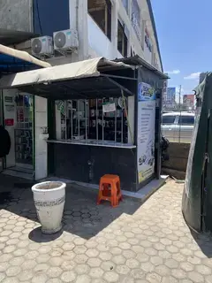
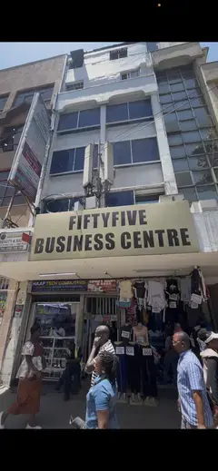
  4. Moveka Station

    Tech hub, Sixty Six mall

    298 m from the route · send or collect parcels here

    0.0 km
  5. Spanish Villas/Lenana

    0.2 km

    Change here for 48

  6. Lenana

    0.3 km

    Change here for 48

  7. Dennis Pritt

    0.8 km

    Change here for 48

  8. Kileleshwa

    1.0 km–4.2 km · 9 stages

    Nearest served area: Kilimani

  9. Show the 9 stagesViraj, Mwingi, Siaya and 6 more
    • Viraj1.0 km
    • Mwingi1.2 km
    • Siaya1.4 km
    • Kangundo1.9 km
    • Queen's Park1.9 km
    • Kasuku centre2.5 km
    • Arboretum3.3 km
    • Prime Bank3.5 km
    • Parklands Baptist/Westlands4.2 km
  10. Parklands

    4.5 km · 1 stage

    Nearest served area: Westlands Area

  11. Westlands Stage

    4.5 km

    Change here for 23KG30046P105

    and 3 more114W115135

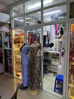
  12. Moveka Station

    Intentional Home of fashion

    230 m from the route · send or collect parcels here

    4.5 km
  13. Highridge

    5.0 km–5.9 km · 3 stages

    Nearest served area: Westlands Area

  14. Eden Square/ICEA

    5.0 km

    Change here for 23KG30105114W

    and 2 more115135

  15. Chiromo Mirage

    5.2 km

    Change here for 23KG3048A48B

    and 5 more48O105114W115135

  16. Museum

    5.9 km

    Change here for 23KG30046P48A

    and 4 more48B105115135

  17. Starehe

    7.0 km–8.8 km · 2 stages

    Nearest served area: Nairobi CBD

  18. Main Campus/University Way

    7.0 km

    Change here for 23KG30046P48A

    and 5 more48B48O105114W115

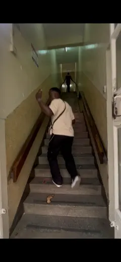
  19. Moveka Station

    Uzanga Kalyan House

    492 m from the route · send or collect parcels here

    7.0 km
  20. 1.8 km to the next stage
  21. Odeon

    8.8 km

    Change here for 11A11B11C23KG

    and 8 more2525A3044G44Z45K48A48B

  22. 2 Moveka Stations

    Together here · send or collect parcels at any of them

    8.8 km
  23. End
    Odeon
    8.8 km

Ready to send?

Parcels travel route 48C too. Send from a Station on the line.

Send a package

Stops from Approved SACCOs - University of Nairobi C4D Lab reporting/sharing, service 2019 to 2020. Map data © OpenStreetMap contributors.