Explore Moveka

Matatu route

23W

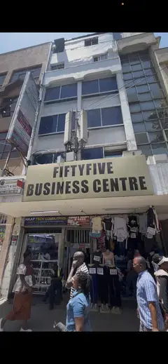
KojaWestlands Terminal

About 4 km between Koja and Westlands Terminal, through Ngara, Highridge. 4 Moveka Stations are on or beside the line.

KojaWestlands Terminal2 km © OpenStreetMap contributors

The route at a glance

4 km through 4 sections, drawn to scale. Select a section to jump to its stops.

Route 23W at a glanceOverview of route 23W from Koja to Westlands Terminal: 4 km through 4 sections, with 13 stages, 2 change points and Moveka Stations beside 2 stages. The ordered list below gives the same information in text.Starehe, 0.0 to 0.0 km, 1 stageStareheNgara, 0.8 to 1.8 km, 3 stagesNgaraHighridge, 2.1 to 3.5 km, 7 stagesHighridgeParklands, 3.6 to 4.1 km, 2 stagesParklands3Koja · 0 kmWestlands Terminal · 4 km
Route 23W at a glanceOverview of route 23W from Koja to Westlands Terminal: 4 km through 4 sections, with 13 stages, 2 change points and Moveka Stations beside 2 stages. The ordered list below gives the same information in text.Starehe, 0.0 to 0.0 km, 1 stageStareheNgara, 0.8 to 1.8 km, 3 stagesNgaraHighridge, 2.1 to 3.5 km, 7 stagesHighridgeParklands, 3.6 to 4.1 km, 2 stagesParklands3Koja · 0 kmWestlands Termin… · 4 km

Stops from Koja to Westlands Terminal

Show Westlands Terminal to Koja
  1. Start
    Koja
    0.0 km
  2. Starehe

    0.0 km · 1 stage

    Nearest served area: Nairobi CBD

  3. Koja

    0.0 km

    Change here for 611C2525A

    and 8 more44G44Z45K46B46H106115116

  4. 3 Moveka Stations

    Together here · send or collect parcels at any of them

    0.0 km
  5. Ngara

    0.8 km–1.8 km · 3 stages

    Nearest served area: Nairobi CBD

  6. Fig Tree

    0.8 km

    Change here for 611A11B11C

    and 8 more2546B46H106107119119A237

  7. Shirika House

    1.6 km

    Change here for 118119119A

  8. Museum

    1.8 km

    Change here for 118119119A

  9. Highridge

    2.1 km–3.5 km · 7 stages

    Nearest served area: Westlands Area

  10. Red Ruby

    2.1 km

    Change here for 118119119A

  11. Parklands Sports Club

    2.2 km

    Change here for 118119119A

  12. K1 Club

    2.3 km

    Change here for 118119119A

  13. Kobil/K1

    2.4 km

    Change here for 118119119A

  14. Aga Khan Hospital

    2.8 km
  15. Muthithi Tausi Junction

    3.1 km
  16. Graffins College

    3.5 km
  17. Parklands

    3.6 km–4.1 km · 2 stages

    Nearest served area: Westlands Area

  18. Mpaka Road

    3.6 km
  19. Westlands Terminal

    4.1 km

    Change here for 118119119A

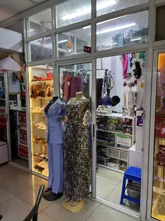
  20. Moveka Station

    Intentional Home of fashion

    164 m from the route · send or collect parcels here

    4.1 km
  21. End
    Westlands Terminal
    4.1 km

Ready to send?

Parcels travel route 23W too. Send from a Station on the line.

Send a package

Stops from Approved SACCOs - University of Nairobi C4D Lab reporting/sharing, service 2019 to 2020. Map data © OpenStreetMap contributors.